GIVING YOU RELIABLE INFORMATION TO MAKE
STRONGER EMERGENCY MANAGEMENT DECISIONS
RELIABLE DATA
VISUAL TOOLS
FUNDING SUPPORT

OUR TEAM PUTS TECHNOLOGY TO WORK FOR YOU:
Administration and Training
Ownership, Control, Access and Possession (OCAP) Compliant Data Management

WITHOUT ACCURATE INFORMATION, THERE
ARE CRITICAL QUESTIONS YOU CAN’T ANSWER:
What are the highest risks?
How can I best prepare my Nation for an emergency?
What environmental changes are creating new or increased risks?
How do we qualify for specific funding opportunities?
GIS HELPS YOU MAKE BETTER DECISIONS BEFORE, DURING
AND AFTER AN EMERGENCY.
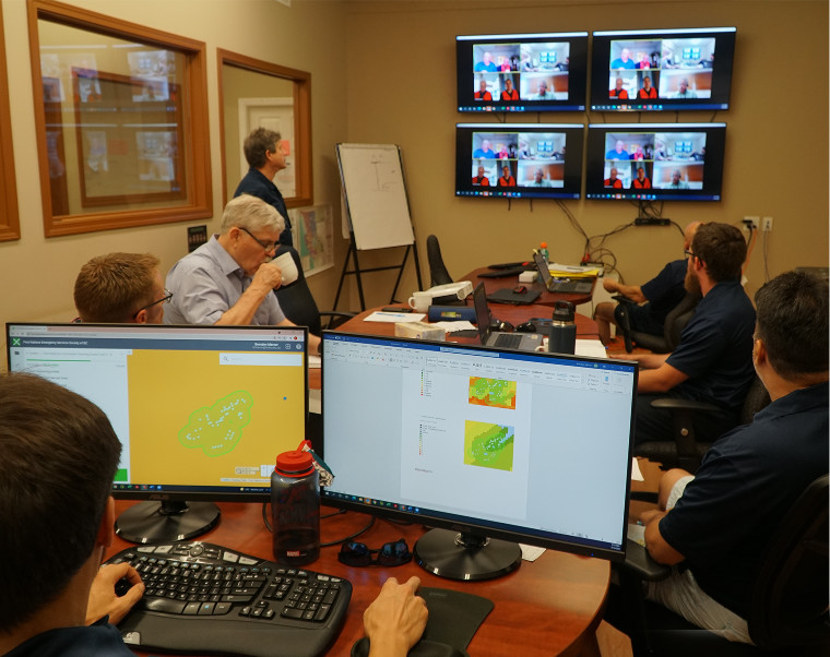
GIS (Geographical Information Systems) uses technology to gather information and display it visually, so it’s easier to understand and use. We help you collect critical information to give the insight you need to lead most effectively in a trusted relationship.

INFORMATION
COLLECTION
We set you up with digital forms and processes that make it easier to collect the data you need for today and the future.
Drone and other imagery give you efficient, detailed insight into landscape changes, damage , and risks.
Lightship Works and other platforms securely store and organize your data, strengthening your desicion making and self-governance.

MAPPING & VISUAL
DATA SUMMARIES
Your data is analysed and transformed into visual maps, charts or other reports that make the information easier to understand and use.
Short-cut your funding application process with ready-to-submit information.

BETTER DECISIONS &
EFFICIENT RESPONSE
With accurate historical data, prevention becomes more effective and streamlined.
Digital modeling and predictions help you plan long-term for all hazards.
The more we understand about your Nation, the more quickly and efficiently FNESS can support you in emergency response.
USE GIS TECHNOLOGY AS A LEADERSHIP STRATEGY
CONTACT US
Call or email our office to tell us about your community and the support you need.
get set up
We’ll work with you to get started on our digital platform with orientation and ongoing support.
make better decisions
Accurate information will make decisions clear and funding easier to access. Have confidence in your mitigation, prevention, response and recovery choices, knowing your critical data is reliable.
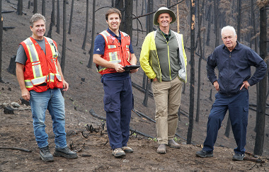
fness decision support team
Our team sees the challenges you face while leading through unfamiliar, changing circumstances. We believe utilizing technology will strengthen your independent
decision-making.
with technology, the right decisions
will become more clear.
Save time, money, and effort with guidance from GIS Data and Mapping Support.
We know you want to make the best decisions as you lead your community. To do that, you need the most accurate information available. The problem is that accessing detailed data is complicated, especially in changing environments and landscapes. Without reliable answers to your questions, decision-making can feel like guesswork, and your funding applications may be incomplete. However, there is technology that makes fact-finding easier and more accurate – and we believe you should have access to it.
Our Decision Support Analysts partner with members to turn complex data into reporting that’s easier to understand and use. With reliable information, you can have more confidence in your decision-making and better access to funding opportunities. Our team supports you with insight for more effective mitigation, preparedness, response, and recovery choices.

Contact our office to start working together and bring your members the training you need. Let’s create a safer future and an empowering partnership for the long run.


