
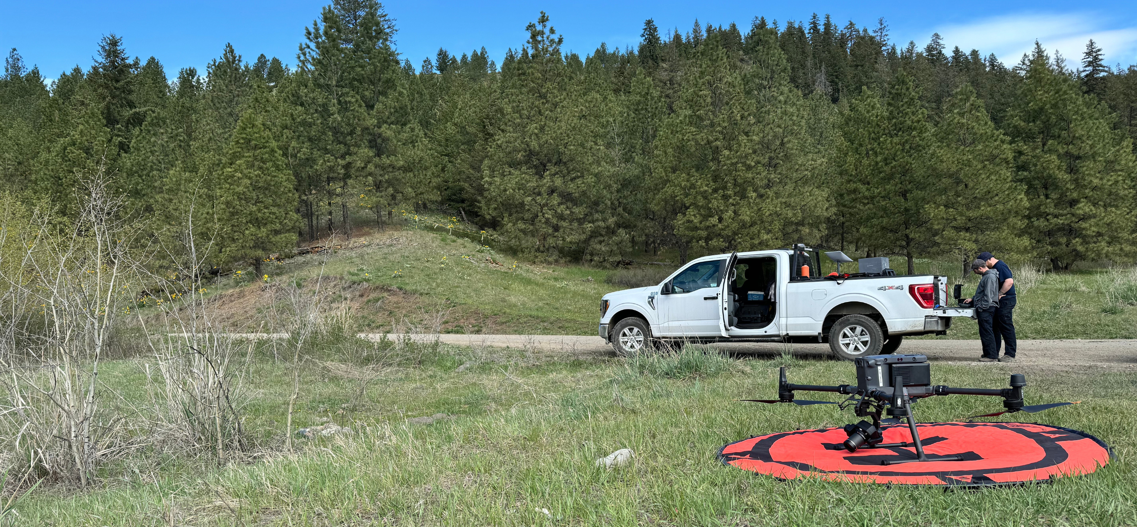
First Nations’ Emergency Services Society (FNESS) is excited to announce the launch of our new drone program! Mapping services are urgently needed in many First Nations communities and this program brings us one step closer to bridging this gap.
We often rely on out-of-date Google Earth imagery to make decisions, particularly for communities in remote areas. Drones will allow us to turn high-resolution imagery into maps that provide us with increased situational awareness and improved decision-making.
How the drone program helps communities:
- By providing updated community maps to pair with Structure Defense Plans
- By capturing post-fire or flooding imagery for Recovery purposes
- By capturing photos and videos to support Response operations and provide real-time situational awareness
The FNESS drone team carefully designed this program to ensure its success. They worked hard to identify the best aircraft, undertook flight training, and established procedures to ensure compliancy with Transport Canada.
The sky is the limit on where this program can take us!


Want to learn more?
Reach out if you have any ideas for collaboration or questions about the program.


[67] copy")